| Project name | DeepForest: Development of machine learning methods for estimating the lower layers of forest vegetation from laser point clouds of airborne sensors. |
|---|---|
| Acronym | DeepForest |
| Project partner |
|
| Grantor | State of Hesse, LOEWE exploration (funding line 5) |
| Duration | 2 years, until summer 2023 |
| Project content | The Earth's forests are of particular importance for the climate and for humans. They are a habitat for many animal and plant species, bind greenhouse gases and are an important supplier of raw materials for us humans. Recording their structure in as much detail as possible is essential for understanding and protecting this complex system. Since recording is very time-consuming during inspections, modern remote sensing methods can help. With the help of artificial intelligence (AI), methods for describing the condition of the forest and the vegetation near the ground are to be developed. For this purpose, laser scanning and image data from airborne and satellite sensors will be used to generate data from the ground perspective. The resulting digital model can play an important role for flood protection and for studying the effects of forest fires, for example. |

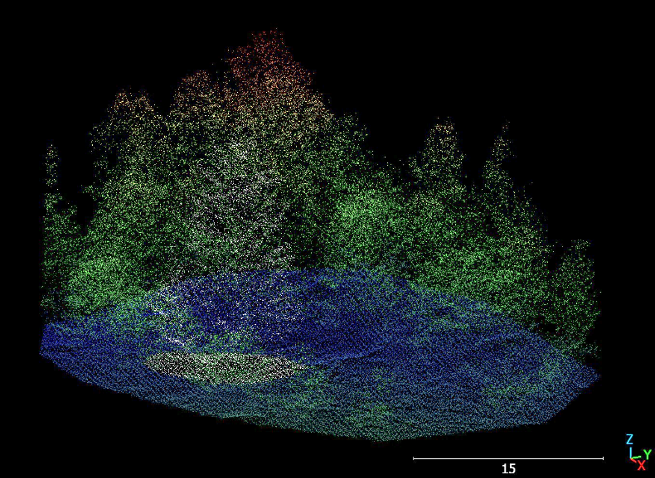
Airborne Laser Scanning
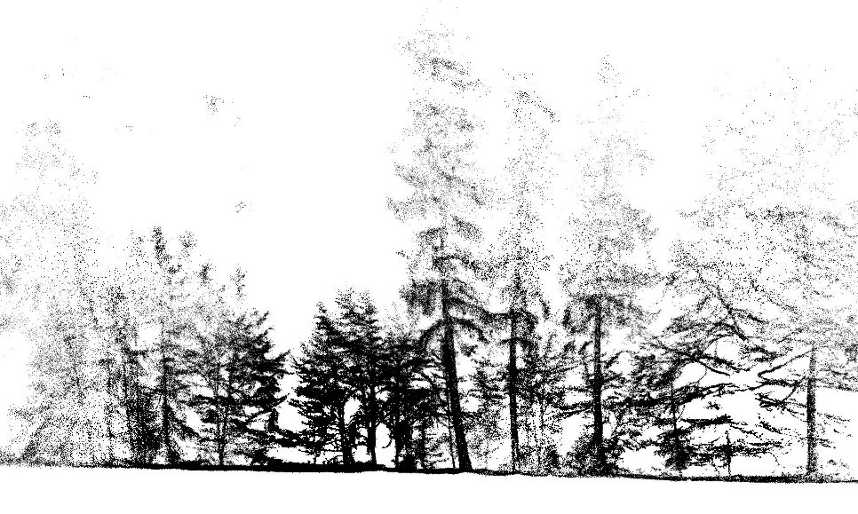
Mobile Laser Scanning
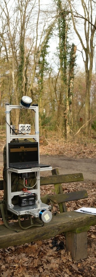
Mobile Mapping System
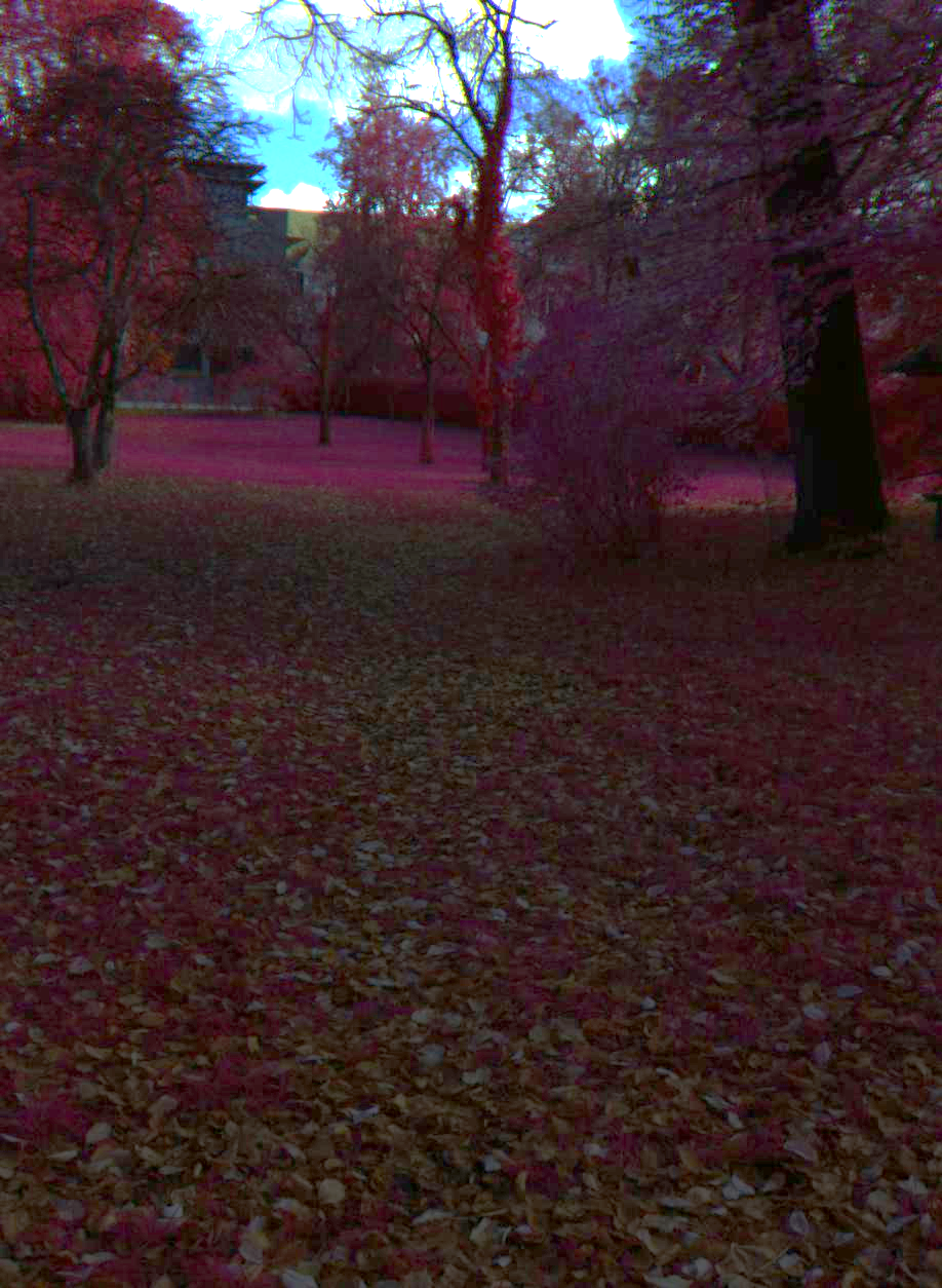
In red colored healthy vegetation