| Project name | Environment 4.0” Subproject 2: Use of digital terrain models and Copernicus data |
|---|---|
| Acronym | Environment 4.0 |
| Project partner |
|
| Grantor | Hessian Minister for Digital Strategy and Development |
| Duration | 2022-2024 |
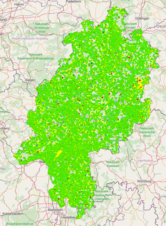
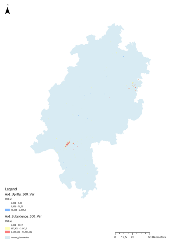
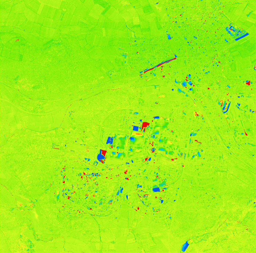
| Project content | The aim of the project is an areal representation and validation of the ground motion patterns in Hesse as well as their interpretation on a geological level. For this purpose, persistent scatterer data from radar interferometry are intersected with data resulting from laser scan overflights. Digital surface models (DOMs) and digital terrain models (DTMs) are generated from laser scan data. These overflights take place in Hesse approximately every 3 years. If two DTMs of different epochs are subtracted from each other, difference maps are generated, which show the ground movement during this period. Another possibility is to use another radar interferometry method that is less dependent on rectangular structures, such as the Small Baseline Subset (SBAS) method. |
Department of Civil and Environmental Engineering

Research project “Environment 4.0”
Subproject 2: Use of digital terrain models and Copernicus data
Research project “Environment 4.0”
Subproject 2: Use of digital terrain models and Copernicus data
Contact
Prof. Dr.-Ing. Dorota Iwaszczuk

Picture: Uli Knaak
iwaszczuk@geod.tu-...
work +49 6151 16-22570
Work
L5|01 450
Franziska-Braun-Str. 7
64287
Darmstadt